Geospatial Data Offline
Advertisement
Geomatica FreeView v.9. 1. 2005
Geomatica FreeView is a flexible data viewing tool supporting over 100 raster and vector formats for loading, viewing, selection, and enhancement. FreeView is useful for any geospatial data viewing application, and is freely distributable.
Advertisement
OpenEV v.1 80
OpenEV is a software library and application for viewing and analysing raster and vector geospatial data. OpenEV is used by private companies, universities, governments and non-profit organizations around the world.
GeoMedia Viewer v.6.1.5.19
GeoMedia Viewer is an easy to use, FREE GIS software application for desktop viewing and distribution of geospatial data.
GeoVISTAStudio v.7.0
GeoVISTA Studio is an open software development environment designed for geospatial data. Studio is a programming-free environment that allows users to quickly build applications for geocomputation and geographic visualization.
FugroViewer v.1.0
FugroViewer is a robust, easy-to-use software designed to help users make the most of their geospatial data.
Zeo Decoder Viewer v.0.2 Alpha 2
The Zeo Decoder Viewer is a Java GUI built around Zeo's Data Decoder Library. It allows easy visual access to your Zeo data offline. View Zeo data with this tool.

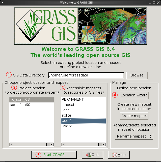
Grass GIS for Mac OS X 6.4.1-3 v.3
Commonly referred to as GRASS, this is a free Geographic Information System (GIS) used for geospatial data management and analysis, image processing, graphics/maps production, spatial modeling, and visualization.

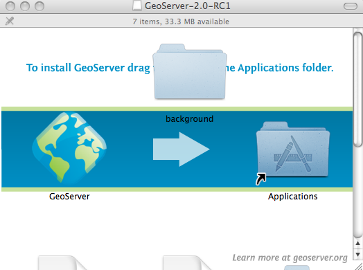
GeoServer v.2.2.3
GeoServer is an Open Source server that will allow you to connect your information to the Geospatial Web.

GeoServer for Mac v.2.2.3
GeoServer for Mac is an Open Source server that will allow you to connect your information to the Geospatial Web.
GeoServer for Linux v.2.2.3
GeoServer for Linux is an Open Source server that will allow you to connect your information to the Geospatial Web.
TNTsim3D v.2008:74
Explore 3D terrains with this tool. TNTsim3D for Windows is a FREE standalone software that lets you fly over 3D terrains with keyboard or joystick controls. Use the professional TNTmips program to prepare Landscape Files (.